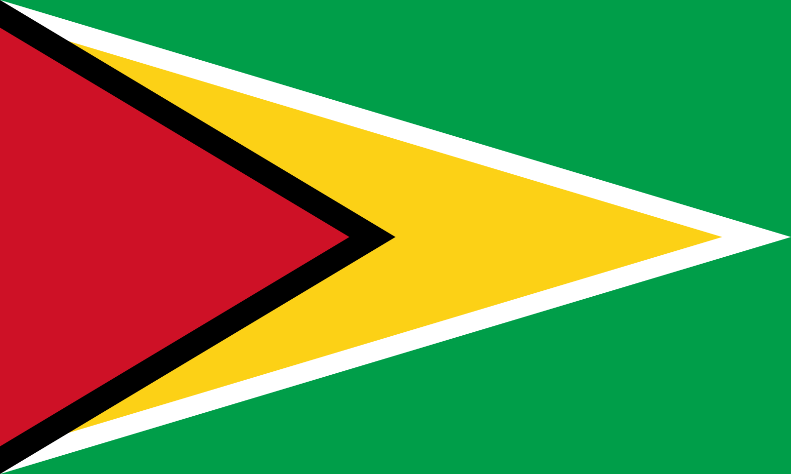


Guyana
ALSO KNOW AS
Land of Many Waters (Root: Guiana (Carib)
LOCATION
On the northern coast of the South American continent bounded by the Atlantic Ocean on the north, Brazil to the southwest, Suriname to the east and Venezuela to the northwest.
STATUS
Cooperative Republic.
Independence – 26 May 1966;
Republic – 23 February 1970

HISTORY
Guyana was originally inhabited by Amerindians. It was settled by the Dutch in the 16th century and changed hands between the Dutch, British and French from the late 16th to early 19th century, and was finally ceded to Britain in 1814. Independence was achieved in 1966 and the Cooperative Republic of Guyana established in 1970.
MOTTO
One People, One Nation, One Destiny
CAPITAL
Georgetown
CURRENCY
Guyana Dollar
AIRPORT
Cheddi Jagan International
Country Programme Status
The first CAP of US$9.77 million (EC$26.38 million) for the Co-operative Republic of Guyana, for upgrading selected farm to market access roads to increase investment in the agriculture sector, was successfully completed in 2016. During 2017, the CDF approved a second CAP for the Co-operative Republic of Guyana from the resources of the second contribution cycle, aimed at rural agricultural infrastructure development in small scale farming communities anticipated to result in greater investment in the agriculture sector.
Under the first CAP, four farm-to-market roads were identified for upgrading on the coast the Co-operative Republic of Guyana in two components as follows:
Upgrading All-Weather Farm to Market Access Roads to Paved Roads
Upgrading all-weather farm to market access roads to paved roads - the Parika Village Road and the Ruby Village Road, Region 3
Upgrading of Fair-Weather Farm to Market Access Roads to All-Weather Roads
Upgrading of fair-weather farm to market access roads to all-weather roads - the Kuru Kururu to Laluni Road, Region 4 and the Onverwagt Road, Region 5.
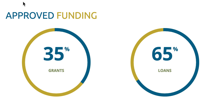
The interventions were financed by a concessionary loan that blended US$6.22 million (EC$16.79 million) from loan resources and US$3.50 million (EC$9.45 million) of grants. Reports from monitoring missions during 2017 confirmed the expansion of farm investment and production as a result of the intervention.
The second CAP of US$10.43 million (EC$28.16 million), approved on July 21, 2016 and the agreement signed on December 12, 2016, consisted of:
Design and Supervision of Works
Design and supervision of works services for the development of rural agriculture infrastructure.
Procurement of Equipment
Procurement of equipment for the development of rural agriculture infrastructure.
The interventions targeted four rural agricultural communities on the East Coast - Ithaca, Buxton, Presidents College and the East Bank of the Demerara River - Mocha. The interventions are being financed by a concessionary loan which blended US$6.62 million (EC$17.89 million) from loan resources and US$3.81 million (EC$10.28 million) of grants. During 2017, contracts for all the major works and the equipment were awarded and the civil works were scheduled to start in 2018. Disbursements valued US$5.57 million (EC$15.03 million) were made to effect the construction work finalise payments for the equipment.